A Self-Drive Road Book: Your Virtual Guide
A professional self-drive road book is not just a travel guide that focuses on inspiration. Its work begins once you arrive. It shows you how to get to all the attractions, create a sensible itinerary, and decide how to explore, where to eat, and what activities to arrange. More than anything else, it addresses the greatest frustration of independent travel: getting to your destination.

Anyone who travels independently is likely to stumble upon this at least once. A Google search might get you close to an address, but it won’t tell you where to park or how to find the entrance. That’s especially true for city streets. I remember taking my first self-drive trip in the USA five years ago and trying to get to The Venetian in Las Vegas. The hotel is huge and located right next to the Las Vegas Strip. The address got me into the right area, but I saw the hotel and after circling it a few times, I still couldn’t find the parking garage entrance. I ended up stopping illegally and asked a security guard where to enter the hotel. I encountered this type of situation repeatedly on that long American road trip.

A self-drive road book is a virtual guide for independent travelers. It helps you get to each stop correctly and realistically plan your time. It simplifies self-guided travel quite a bit.
Below is a snippet from the Seventymai International Self-Drive Professional Road Book: San Francisco Edition.


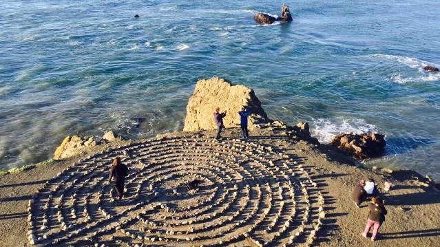
If possible, do not park too far from the viewpoint, as it is always better to keep the vehicle within your site. The next point has one of the best views, and even better, it has parking right next to it.
Navigation address: Christmas Tree Point Rd, San Francisco, CA 94131
GPS coordinates: 37°45'17.0"N 122°26'47.4"W
Google Maps coordinates: 37.754720, -122.446487
Recommended visit: 30 min.
Best Navigation Coordinates for Driving to the Golden Gate Bridge
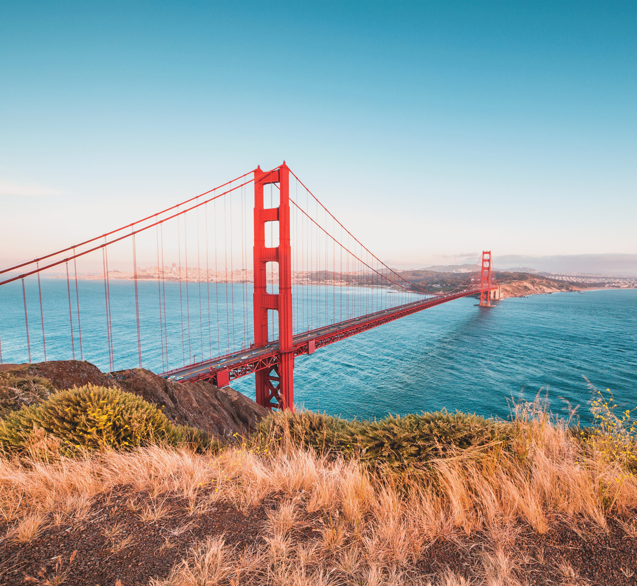
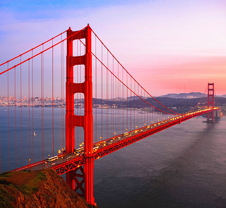
A driving trip along the West Coast would not be complete without a visit to The Golden Gate Bridge. There are several navigation points for the bridge, but you must avoid Google’s direct instructions. If you do, you will end up on the bridge, where you will not be able to stop and park. Instead, use the following destination:

Navigation address: Fort Point National Historic Site, Marine Drive, San Francisco, CA
GPS coordinates: 37°48'37.3"N 122°28'35.4"W
Google Maps coordinates: 37.810369, -122.476508
Fort Point is located right below the southern side of the Golden Gate Bridge. It has great views and - according to this guide - free parking. From there you can take your pictures, walk to Torpedo Wharf to take even more pictures, or hike up the Golden Gate Bridge via Battery Trail.
Recommended visit: 1 hour.
Tips:
If your focus is on photography or you intend to drive across the Golden Gate Bridge, this spot is recommended for you:
Battery Spencer, Conzelman Road, Sausalito, CA, United States

GPS coordinates: 37° There was no cash booth at the bridge and tolls were charged by scanning license plates. Therefore, travelers had to either pay beforehand online or pay sometime within 48 hours after crossing.
Method of payment is as follows:
1. Click on “Pay Toll Now with a Credit Card.”
2. Choose either “Pay your Toll in Advance” or “Pay For a Recent Toll Crossing” within 48 hours.
If payment is late, the toll invoice goes to the rental-car company, which will pay it for the driver and charge them a service fee of about $20-30.
When making the payment, select the rate for a vehicle with two axles. You can also pay by credit card over the phone at (877) 229-8655.
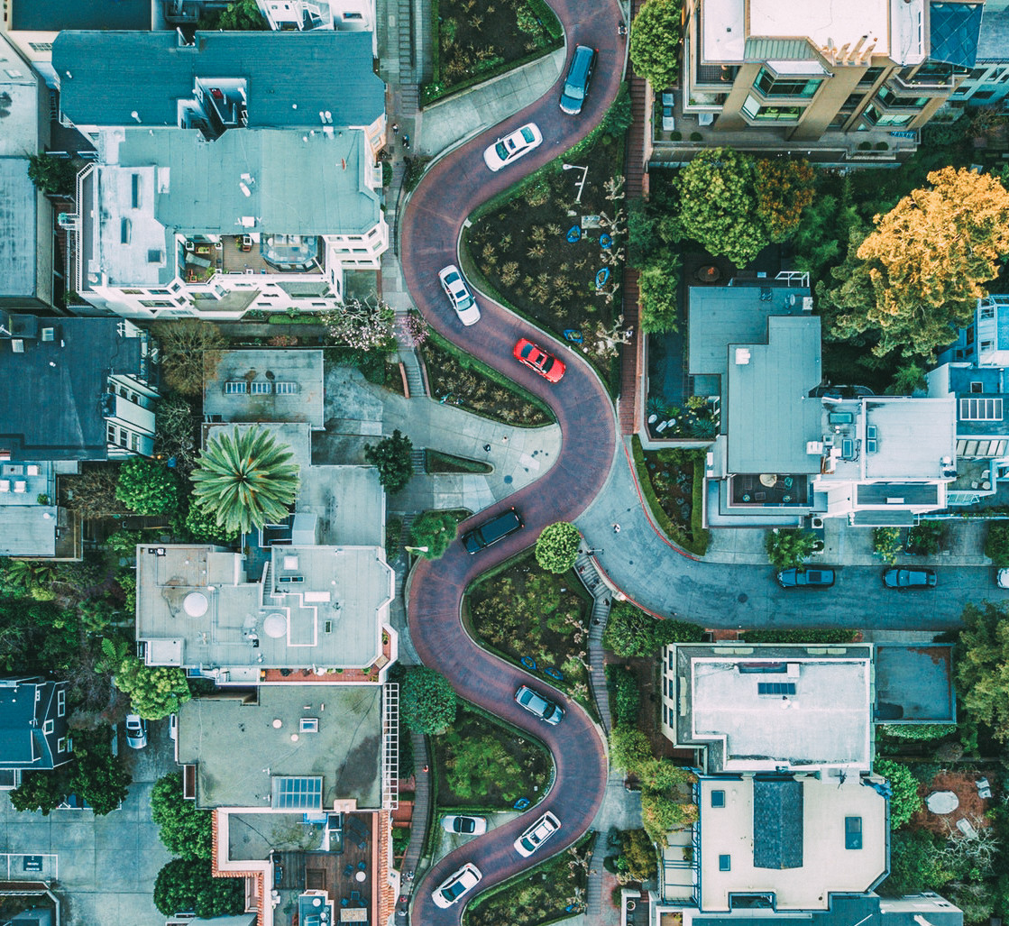
Driving Tips for Lombard Street in San Francisco

There are a little over 40 hills scattered across the city of San Francisco making the streets full of steep slopes. Driving across the hills is a very fun experience. One of the more popular hill set that attract tourists is the crooked part of Lombard Street.
The crooked section located on Lombard Street goes from west to east. This means that when you get to the crooked section, the street will only allow you to go east. If you enter Cobb St from the west, your car should be the first in the east bound lane.
The best way to navigate to Lombard St is to set your destination to the coordinates: 37°48'07.9"N 122°25'07.4"W (37.802194, -122.418722) or 1025 Lombard St # 6, San Francisco, CA.

When you get to Lombard, there is usually a free parking spot on the street for you to take some photos.


Among the many restaurants, some of the most popular include:
Crab House is one of the most popular spots at Fisherman’s Wharf. It has great crab dishes like Killer Crab and grilled crab legs, as well as crab chowder, crab Caesar salad, and crab cakes. If you have 4 or more in your group, the Crab Feast is a great option.
Located at: 2nd floor of the west side of Pier 39
Address: 203 Pier 39 Concourse, San Francisco, CA 94133
Phone: 1 415-434-2722
Hours: 11:30 am to 10:00 pm
Reservations:
Menu: ***
Average spend: US$40 per person

Next is Boudin Sourdough Factory, Pier 43: This American classic eats like many well-known restaurants in America. In addition to its famous sourdough bread, it serves clam chowder and beef chili, both of which are classics in the city of San Francisco. It is definitely worth trying, even if you are curious, its flavors are not for everyone, however.
Address: 2890 Taylor St, San Francisco, CA 94133
Phone: 415-776-1849
Hours of operation: 11:00 am to 8:00 pm

Finally, if you have time, you can take a cruise on the Red and White Fleet. It lasts one The guide mentions tickets are around US $25 and that there are three routes. Explore Central San Francisco by Walking and Using Public Transport (Approximately 3–4 Hours) Walking, and then using the bus or cable cars, gives time to soak in the essence of the city without the hassle of driving in the most difficult areas. Suggested walking route: Start at the Fisherman's Wharf then make your way to Lombard Street, Washington Square and Saints Peter and Paul Church, Transamerica Pyramid, Exploratorium (2-3 hours suggested; feel free to skip it if leaving San Francisco by noon), Ferry Building, SF CBD, Chinatown, Union Square, Macy’s, Apple Store, and the cable car stop. From there, hop on a cable car back to Fisherman's Wharf. From there, head to City Hall and catch bus 47 back to the Wharf. This is a loop so you can start at any point. Your Accommodation Options in San Francisco The original guide describes the price of hotels in San Francisco to be among the most expensive in the world, with prices for three or four star hotels costing approximately RMB 1,300 in the low season and RMB 2,500 in the high season. They also listed parking at USD 25 – 50 per night. If you have a limited budget and time, one night in the city is adequate. For lodging, the best option is offended, as it places you right by the waterfront and the busiest visitor areas of the city. You can explore Fisherman’s Wharf and Lombard Street without having to drive. The city is compact enough that walking, cable cars, and buses are all you need to get around. The guide mentions this as the safest area, although break-ins and theft are a reality in San Francisco. The only downside is the cost.

Staying around Union Square is suggested, but do not stay south of Market Street. In comparison to Fisherman’s Wharf, the hotels here are a bit cheaper, and you have good access to the rest of the city including the stores, malls, and Chinatown.
Another option is to stay at hotels near San Francisco International Airport. These are much cheaper and there is a greater selection. It is around a 30 minute drive to downtown San Francisco from there. For those on an evening flight, it is convenient as parking is free. When visiting the city, you can park at Fisherman’s Wharf and then walk and take public transport. The area also has shopping centers, restaurants, and large supermarkets.
Tips:
This guide does not suggest staying in the nearby city of Oakland due to safety concerns.

For those of you who are spending two nights in San Francisco, a trip to Stanford University and Silicon Valley, or the wineries in Napa to the North is a good option. Seventymai International Self Drive Professional Road Book provides comprehensive information on navigation by address or coordinates as well as along the route visually, where to park, where to eat, where to walk and how to get to Stanford and Silicon Valley. 16 Days / 14 Nights West Coast USA Guided Self Drive Tour (California State Route 1 + Yellowstone + Arches + Grand Canyon + Antelope Canyon + Route 66 + San Francisco + Las Vegas + Los Angeles) Includes Full Size SUV, Professional Self Drive Guide, Small Premium Convoy, Flexible Flights. Custom 16 Day / 14 Night USA Independent Travel Plan - Driving along Roads and Beaches (California Highway 1 + Yellowstone + Antelope Canyon + Universal Studios Hollywood + San Francisco + Stanford University + Salt Lake City + Santa Barbara + Vegas + Bryce + Arches) Includes Online Guide, Clear Pricing, Custom Professional Road Book, Flexible Flights